Saturday, June 23, 2007

Stage 2

It is late and we have to get up early tomorrow to hike along the Benediktenwand, so I'll keep this short. A long day -- much longer than planned: 7.5 hours instead of 6. The problem was that the paths along the Isar prior to Bad Toelz that were straight as an arrow on the map were totally zig-zaggy on the ground (as in a zig every 2 meters). And when they were straight, usually they were horse paths with loose pebbles (Schotter) that felt as if one were walking along a beach. It was a lovely hike, but it was tiring and long.

The day was however saved from a descent into mutterings about how Shackleton would never have done this to his men, by the sudden and totally unexpected appearance of two cheering and bell-ringing maniacs with flags on which was written "H2H" and "Go Sally, Guy, Russ, and Dave", and on which were also the flags of all the countries through which the H2H goes. It was Beatrice and Arnulf, who had parked their car in Lenggries and ridden their bikes back along the Isar to Bad Toelz asking everyone they met if they had seen four Americans with huge packs. We met them just before Bad Toelz and then all had lunch together.

In the afternoon (ok, later than that: it was 3:15) they announced that they would accompany us back to Lenggries on foot, pushing their bicycles, a distance of over 12 km. Greater love have no friends than these two.... They stayed with us for dinner and left around 9:30, promising to reappear in Switzerland (at the latest!).

Much more to say (for example about the Bavarian jumping slugs), but I need to get some sleep so that's all for now.

Technology Teething Troubles

Apologies for not posting yesterday as planned... It turns out that the interface for my blog has some sort of underlying technology that is incompatible with my cellphone. Since you are reading this I have obviously resolved the issue (basically by finding a normal computer to set up my blog account so I can email posts to it), but it took a little while.

Stage 1

Day 1
The H2H began as planned today... OK, not exactly as planned, but at least it began. You see, it went like this: we had planned to leave about midday, but then Russell lost my housekey and had to drive back to the store he thought he had lost it in (and no, he didn't find it). Then I couldn't find my sunglasses. Then Dave... well, what can one say? Dave is Dave rather like "Mir san mir" describes Bavarians. Bottom line: we left at 2:15. Then there were photos to take, and finally we were off.

It was, as I had expected raining... Not a hard rain, but enough to make us wear our raingear. We stopped in Wolfratshausen for Sally to buy a Camel Pak (flexible water container, for those who don't know it) and then continued as planned along the Isar towards Einoed.

About an hour and a half later, after a short break, Sally drops a bombshell: she thinks that she left her money belt (with all her money, her passport, her drivers license, etc.) either in or just outside the sports store in Wolfratshausen!

General consternation. What to do? We decide to do what all intrepid explorers would do: call for help. Lidia wasn't at home, so we called Arnulf. Arnulf took charge, found the number of the store, called them and explained what to look for and where... no luck. So Sally and I take a taxi back to the store... and find the belt! It was black and in a plastic bag... in a bin full of black things in plastic bags: it wasn't surprising that even though they knew where to look, the store people hadn't found it.

Back to Geretsried where Russ and Dave were still sitting by the side of the road and we continue. I only make one significant mistake (which nevertheless costs us about a km) and we arrive at the Landgasthof Beham about 19:40... quite hungry but still very happy to have survived Day 1.

Tuesday, April 24, 2007

H2H Training Hike -- Notkarspitze April 2007

I need an anchor; that is my conclusion from the H2H training hike I did yesterday.

The Notkarspitze, overlooking beautiful Kloster Ettal (a Benedictine monastery), is at 1889m low enough so that in this preternaturally warm and dry spring it is already free of snow. The hike begins at 800m and has enough ups and downs along the way to bring the climbing total to about 1200m, with the roundtrip distance (as measured on the map... typically an understatement of the true distance walked up zigzag paths) being 10.5km.

According to the DAV guidelines this should have taken around 7h40m to hike (for an explanation, see here). According to the signposts on the trail, it should have taken around 5h30m. I did it with a full (12kg) pack in 4h20m.... I didn't realize that I was going too fast until I got back home and did the calculations... at which point I understood why I had felt so tired on and after the hike! That's why I need an anchor... to slow me down.

In case you are a prospective H2H hiker reading this, there's one thing to worry about and one thing not to worry about. Don't worry about needing to hike this fast when you come with us... I don't want to hike this fast either! On the other hand, you probably should ask yourself if you are sure that you are in shape to do hikes at least this difficult on a daily basis... and if the answer is that you aren't sure, then this is definitely something to worry about.

I've posted a few photos from the hike here. My favorite is the Bergdole.

My legs feel pretty good today, so it seems as if my training program is working: I expect to be in good shape when the H2H starts. How I'll feel at the end is, of course, another question!

Sunday, September 24, 2006

Building the website

So, the past few days have been taken up with researching, choosing, purchasing and learning to use website development software (Macromedia's Dreamweaver) and a web hosting service (Dotster). I've also been learning HTML, XML, CSS, and various other technologies required to build a maintainable website. The basic architecture is complete and the page designs done on paper... now to turn them into templates, style sheets, include files, and html pages!

Eurohiker is on its way....

Saturday, September 16, 2006

Kramerspitz above Garmisch

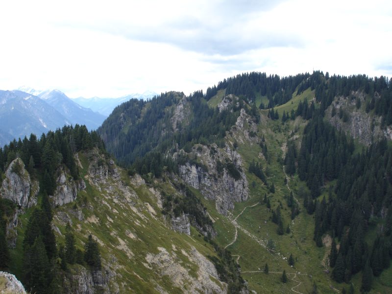
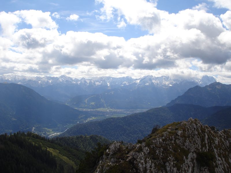
Went for a hike yesterday, up to the Kramerspitz (1981m) above Garmisch-Partenkirchen with beautiful views down onto the town and across to the Zugspitze. At around 14.5km and +/-1350m, it should, according to the guidelines of the German Alpine Club, have taken 9 hours to do. We did it in 5.25 :-). I think their guidelines are for grandmothers. A bit hazy, so no good photos, but a great day. Here are a couple of photos from another recent hike -- up the Ettaler Mandl:


Not a real blog yet... still just playing around with the capabilities.

Tuesday, August 22, 2006

Watch this space...

Over the next several months, this blog will describe the preparation for and execution of... an Expedition!